In DDOE’s Annotation Platform, a Recipe is a comprehensive configuration that defines how data is annotated for a specific task, with a focus on geospatial data, including map-based visualization, spatial annotation tools, and structured geospatial outputs.
Annotations are tied to real-world coordinates, making this recipe essential for spatial analysis tasks.
Common domains include:
Satellite imagery analysis
Aerial and drone photography
GIS, mapping, and land-use applications
It is widely used in environmental monitoring, urban planning, agriculture, and defense use cases.
Start Creating Recipes for Geospatial Tasks
Open Recipes from the left-hand navigation panel.
Click Create Recipe to bring up the configuration dialog.
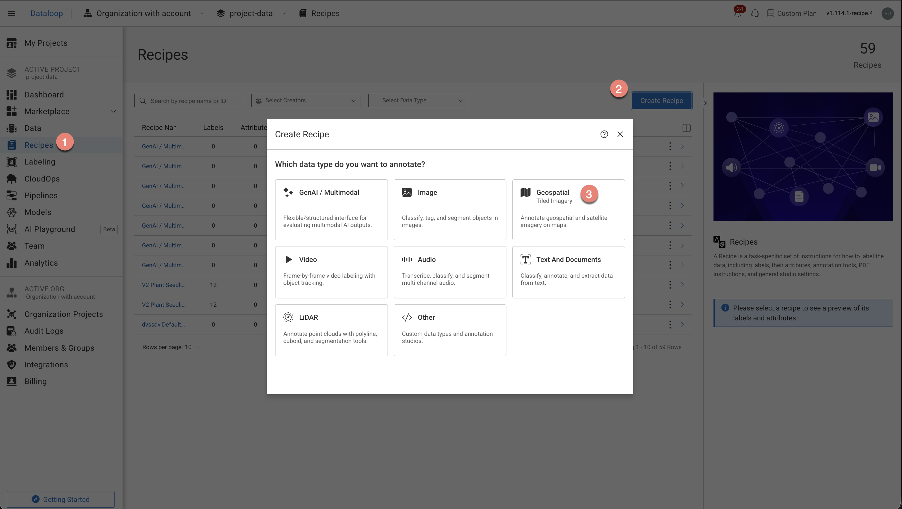
Select the annotation types from the list. The annotation tools will be auto-configured according to your annotation type selection.
Object Detection
Classification
Other
Click Create Recipe. The recipe page is displayed and start configuring the following:
Labels
Attributes
Annotation tools
Instructions
Advanced Settings.